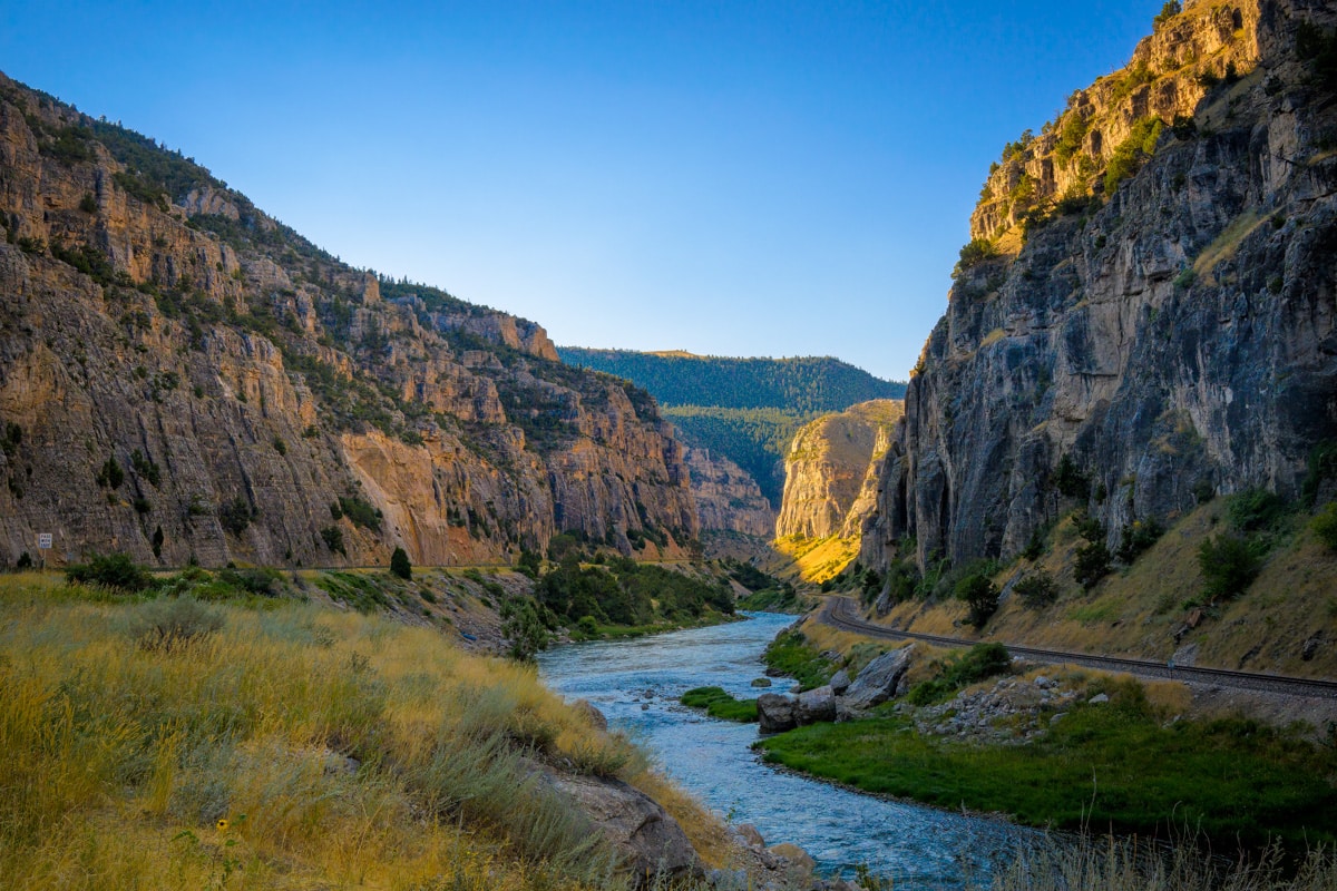
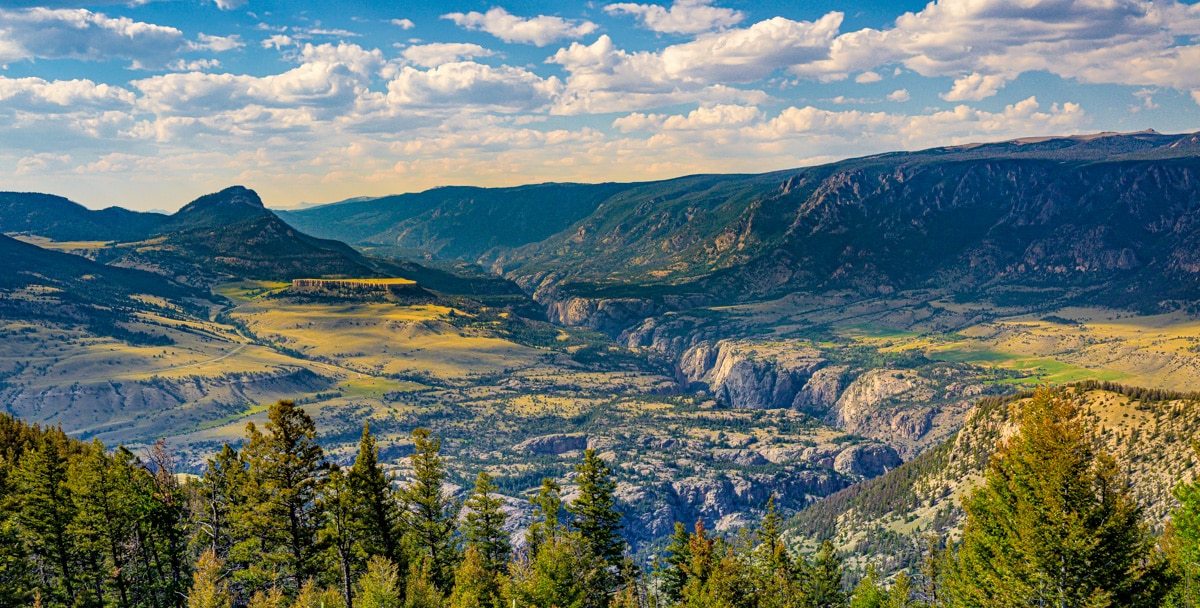
Chief Joseph Scenic Byway

Afternoon view up the Canyon of the Clarks Fork of the Yellowstone River taken from near Dead Indian Hill along the Chief Joseph Scenic Byway.

Chief Joseph Scenic Byway, also known as Wyoming 296, is a 46-mile scenic highway in northern Wyoming. It stretches from just north of Cody Wyoming to the junction with the Beartooth Highway near Cooke City, Montana. Named for the Nez Perce Chief Joseph, the highway roughly follows a portion of the route taken by Chief Joseph and his followers fleeing the US Calvary in 1877. Along the route there are views of the Absaroka Mountains, the Beartooth Mountains and Plateau, plus the canyon of the Clarks Fork of the Yellowstone River.

Continue reading “Chief Joseph Scenic Byway”

Theodore Roosevelt National Park Photographs

A view of the yellow cottonwoods that grow along the banks of the Little Missouri River in the North Unit of Theodore Roosevelt National Park in North Dakota.

Photographing Theodore Roosevelt National Park (TPNP) is a a rewarding experience. Because it is not heavily visited, photographers can capture unobstructed views without cars or people. Yay!

It is important to know that there are three separate areas, or units, of the park: North, South, Elkhorn Ranch. And, they are many miles apart. In addition, along I-94 near Medora, there is the Painted Canyon Visitor Center and rest stop. These photos are from our visit to the North and South units.

Continue reading “Theodore Roosevelt National Park Photographs”
Instagram