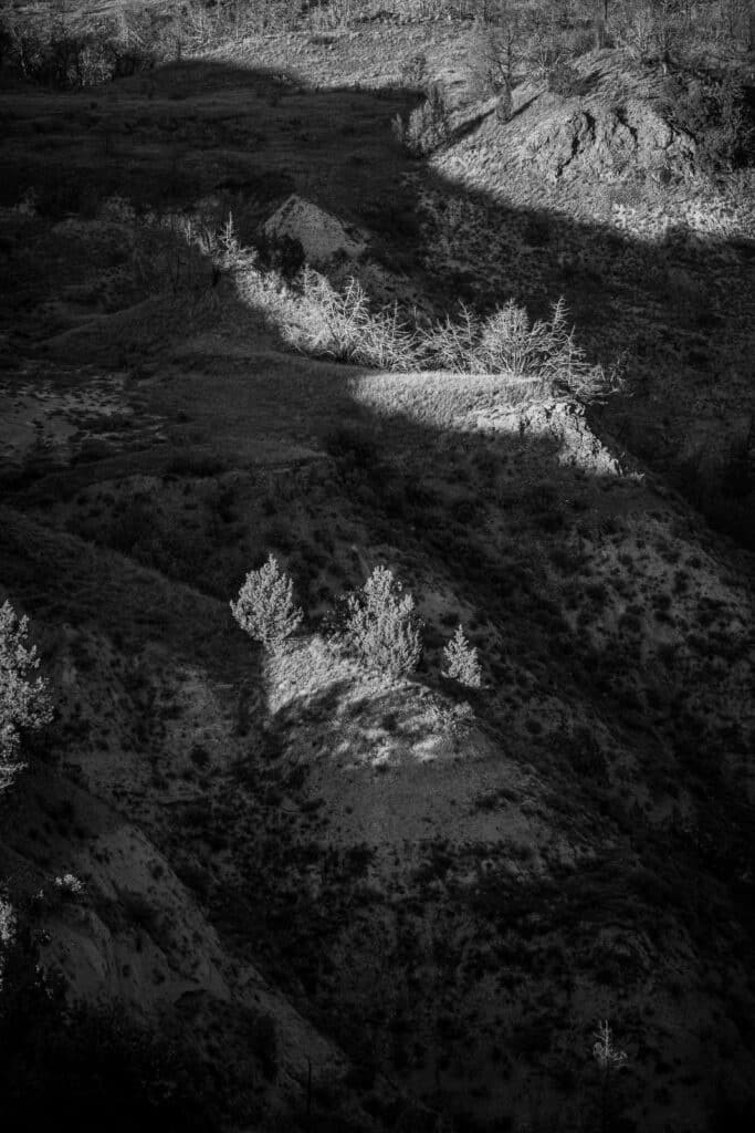
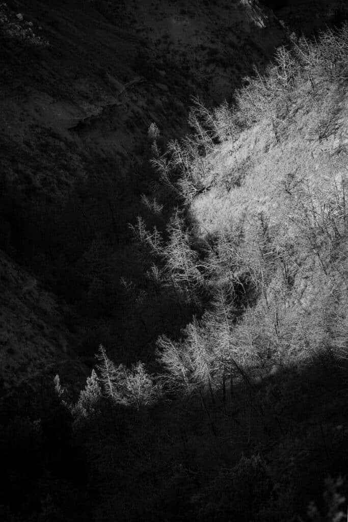
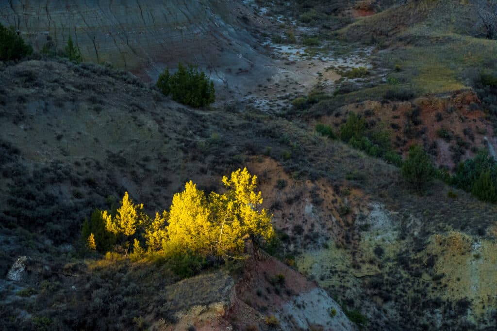
Photographing Theodore Roosevelt National Park (TPNP) is a a rewarding experience. Because it is not heavily visited, photographers can capture unobstructed views without cars or people. Yay!
It is important to know that there are three separate areas, or units, of the park: North, South, Elkhorn Ranch. And, they are many miles apart. In addition, along I-94 near Medora, there is the Painted Canyon Visitor Center and rest stop. These photos are from our visit to the North and South units.
Photographs from Theodore Roosevelt National Park
The North Unit of Theodore Roosevelt National Park
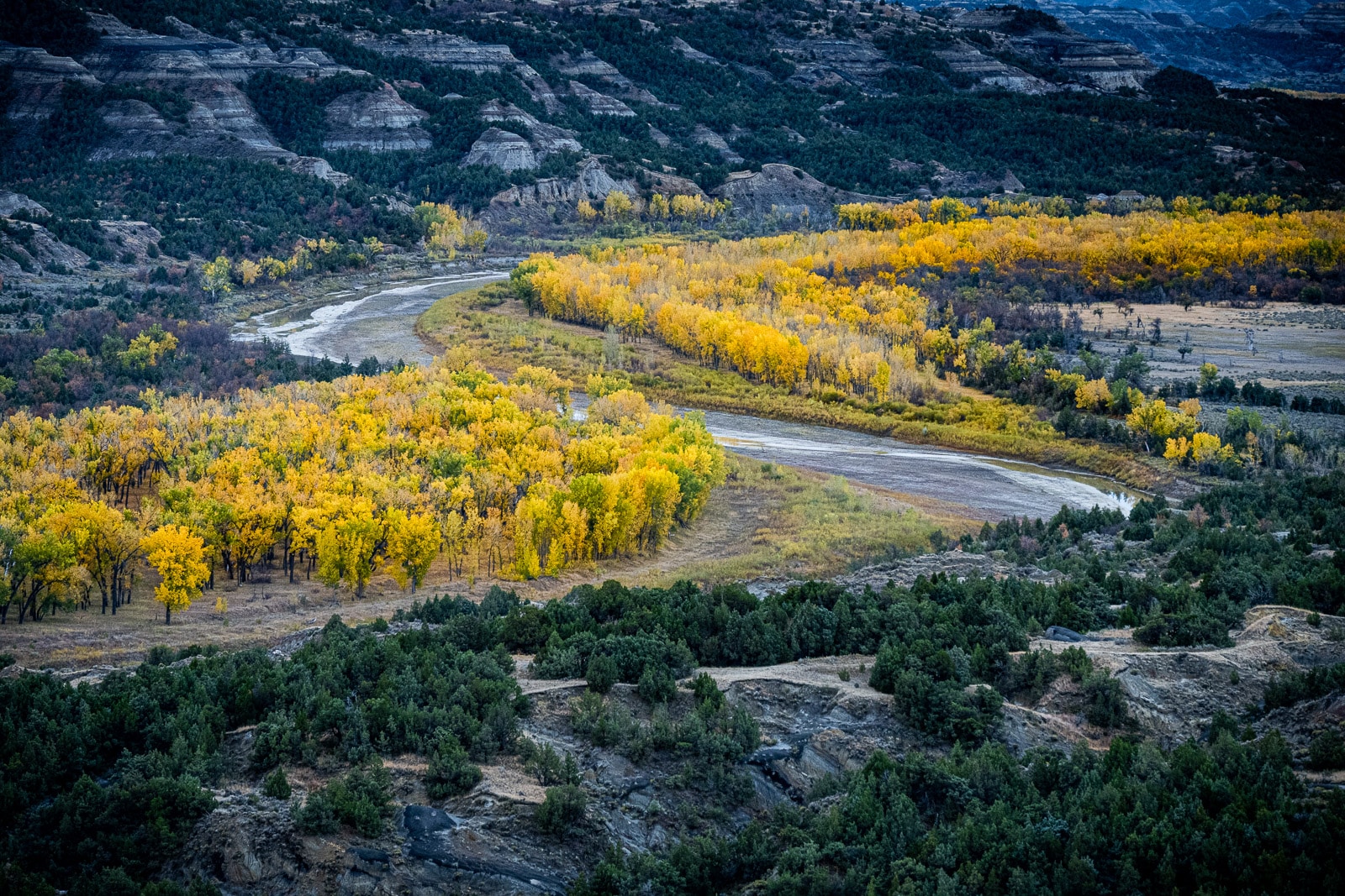
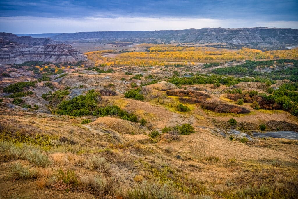
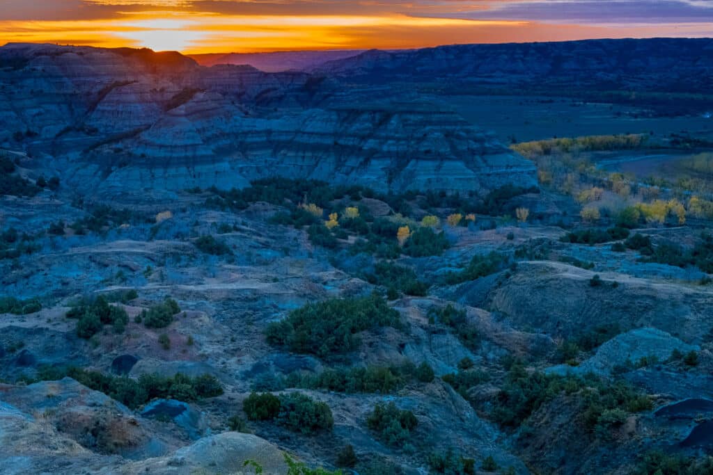
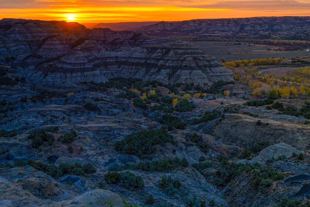
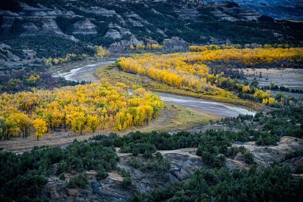
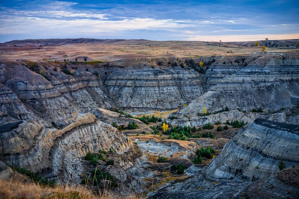
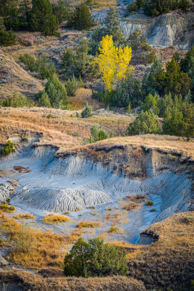
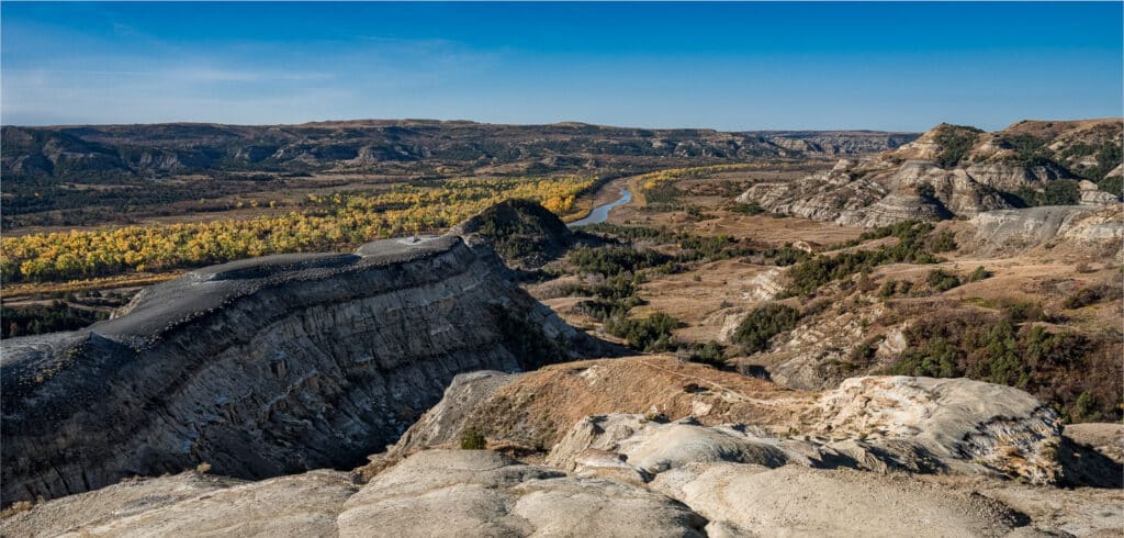
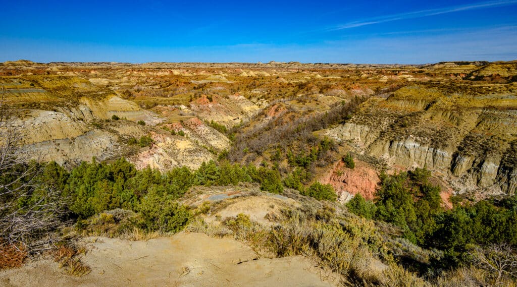
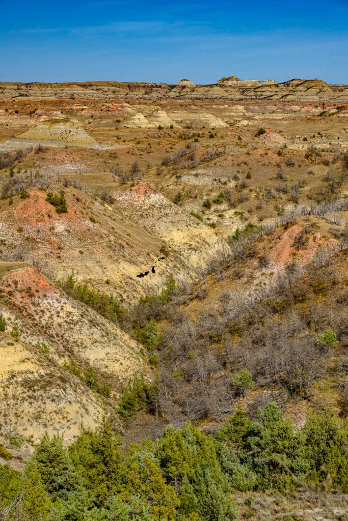
The first area we visited was the North Unit, which is about 80 miles north of the South Unit. The entrance is along ND Highway 85. The scenery is a nice mixture of badlands topography, woodlands, and grasslands. And, the Missouri River runs through it. Since we were visiting in the fall, one of the spectacular scenes was the golden cottonwood trees crowded along the banks of the river and its tributaries.
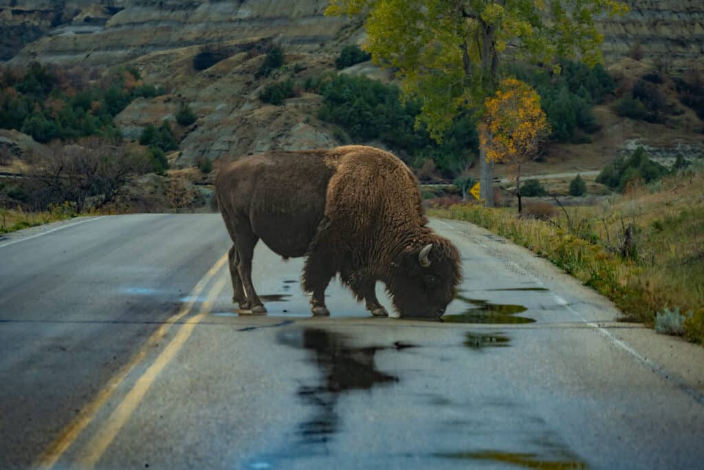
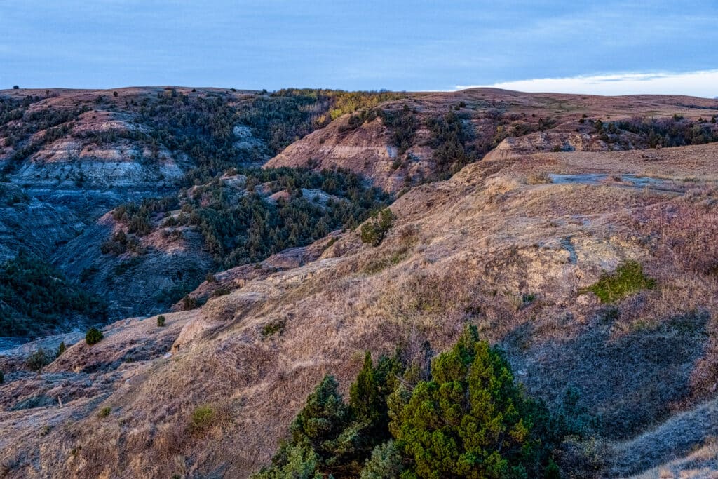
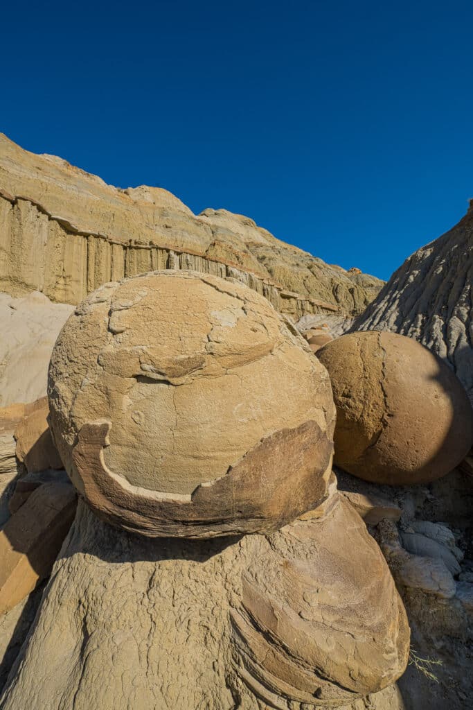
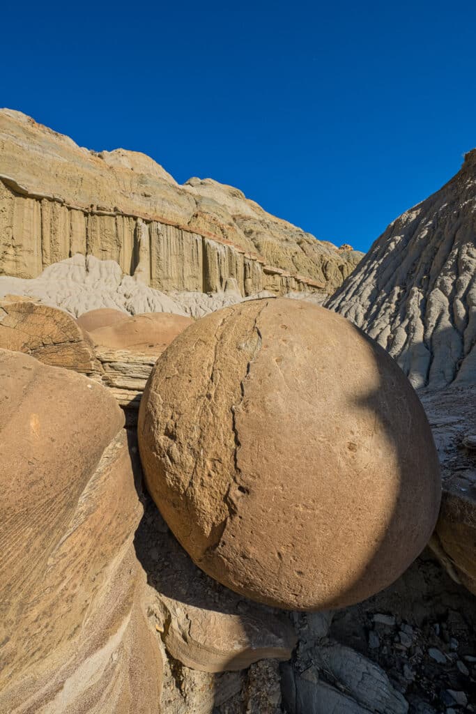
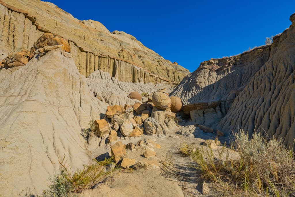
The 14-mile scenic drive is mostly paved and passes through all the main areas of this unit. Along the way you see classic badlands topography with rilled hillsides and giant iron-rich concretions. The road then climbs out of the highly eroded landscape onto rolling prairie grassland. Here you can find bison and wild horses. And, the best part is that there are very few other people! If you have the time, camp overnight in the Juniper Campground.
To learn more: https://www.nps.gov/thro/planyourvisit/north-unit.htm.
The South Unit of Theodore Roosevelt National Park
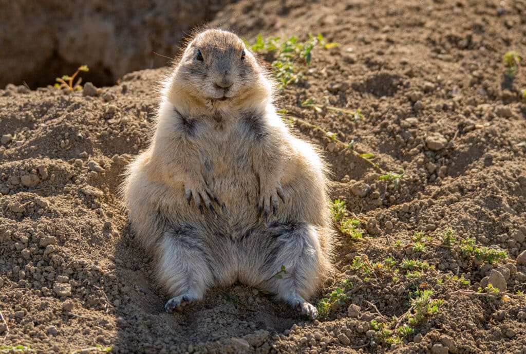
The South Unit is close to I-90 near Medora, North Dakota. This is the more popular unit of the park, so expect more competition for choice viewpoints. Much like the North Unit, there are eroded badlands, rolling prairies, bison, and horses. In addition, there are several Prairie Dog cities along the 36-mile scenic loop.
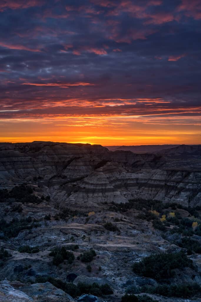
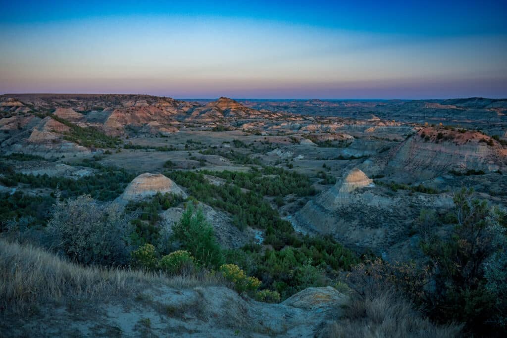
The South Unit has a few more attractions for tourists. For instance, there is a Visitor Center, the remnants of a brick factory, and the rebuilt Maltese Cross Cabin. This cabin was moved from its original location at the Chimney Butte Ranch. Additionally, there is the town of Medora. Here, you can find food, drink, gas, and lodging. I recommend, however, that you try to camp at the Cottonwood Campground. It will be easier for you to take those luscious dawn and dusk shots.
To learn more: https://www.nps.gov/thro/planyourvisit/south-unit.htm.
Fantasy rock formations
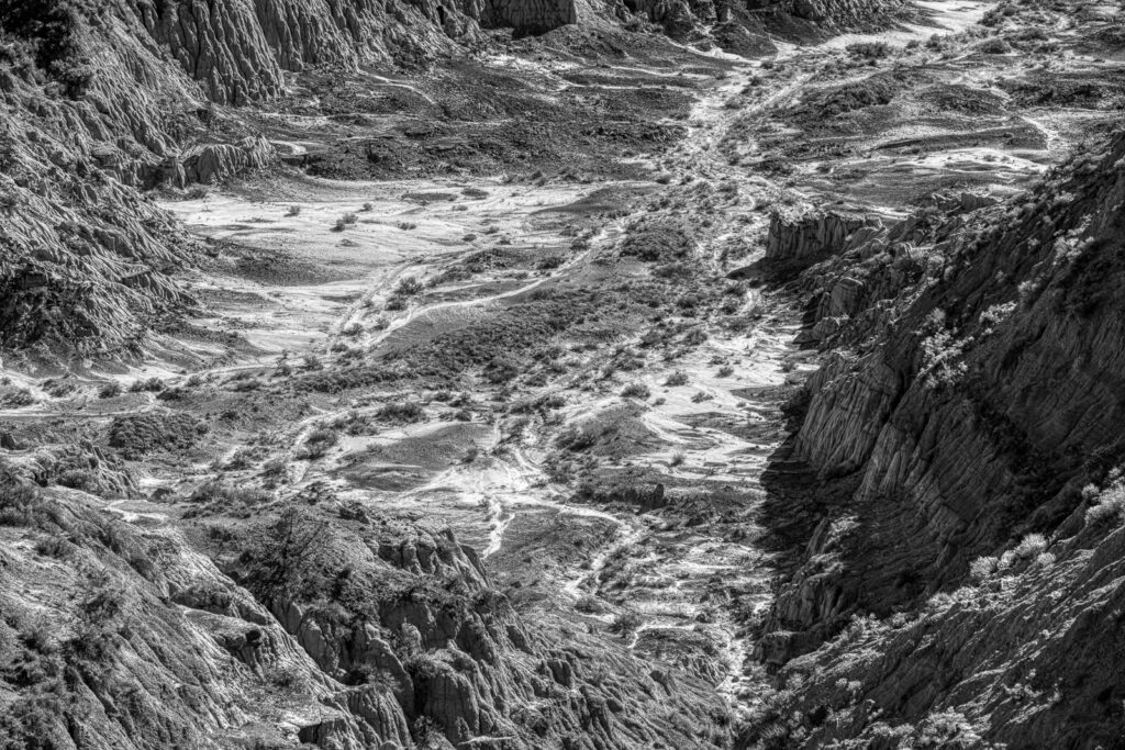
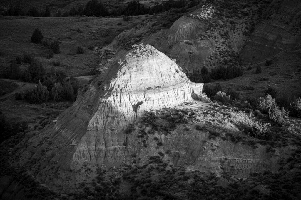
Once, this area was part of a vast sea and flood plain. Then, about 65 million years ago, tectonic forces uplifted the region. Rivers, such as the Yellowstone and its tributaries, started to flow across this uplifted plain. As a result, soil and rock were eroded away creating all kinds of fantasy formations. Looking out from the many overlooks, visitors can see balancing caprocks, rock spires, hoodoos, hogbacks, fluted hillsides, mesas, and buttes.
We have photographed other locations with similar types of rock formations. These locations include:
- Bryce Canyon
- Fantasy Canyon
- Badlands National Park
- Makoshika State Park
To purchase our photos
All of our scenic photographs are available as fine art prints. Use the contact form to the right to get more information. Or, go to our Fine Art Print page to learn about various pricing options.

