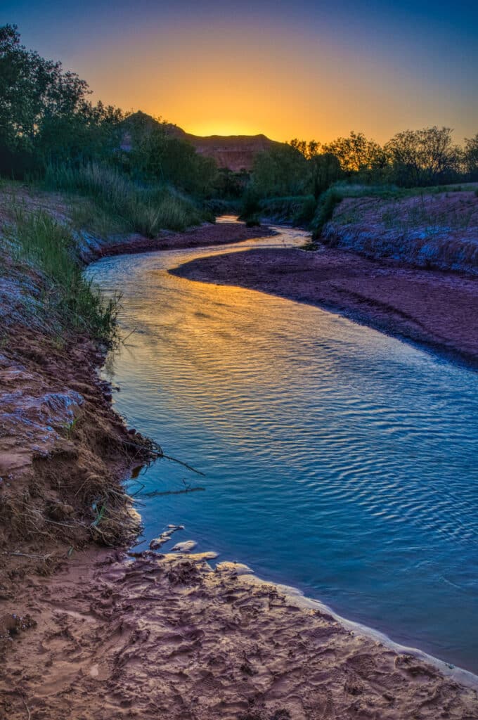
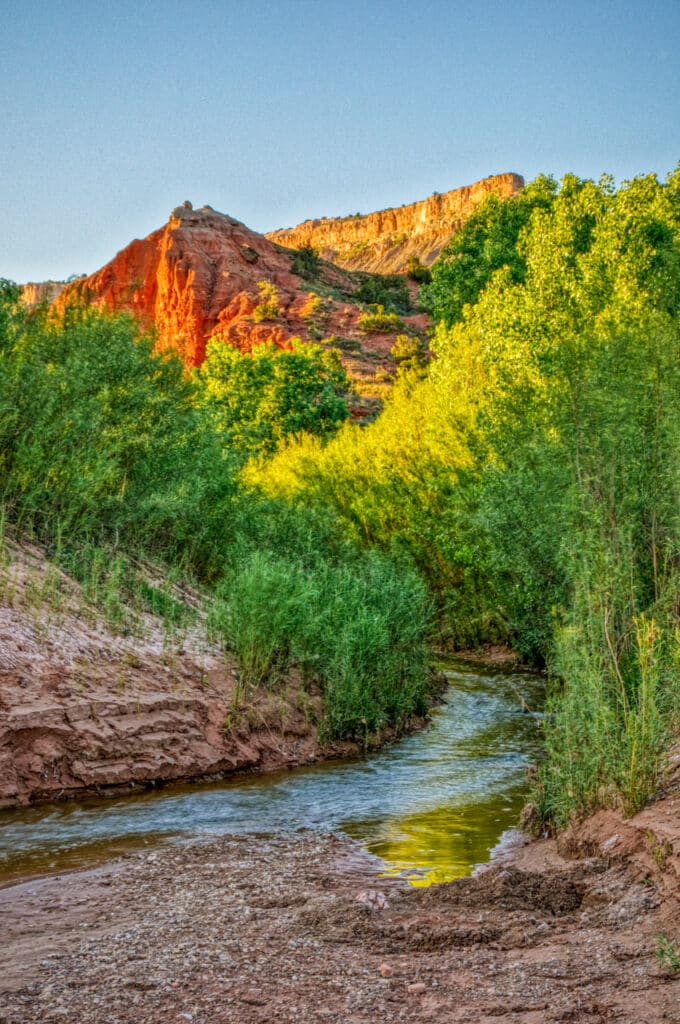
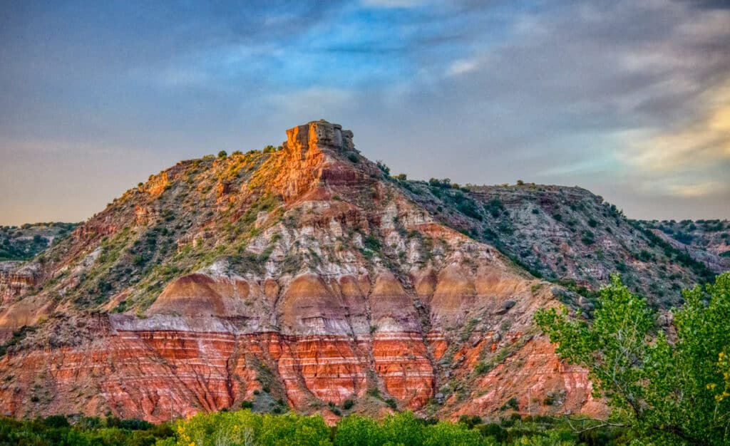
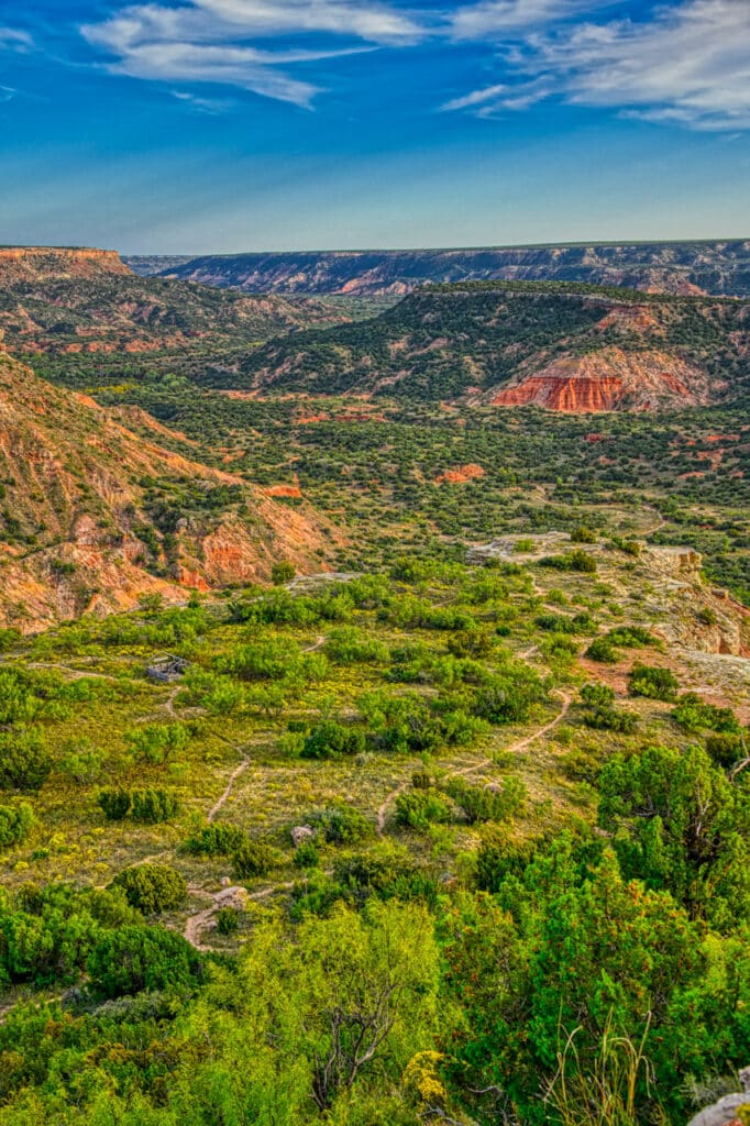
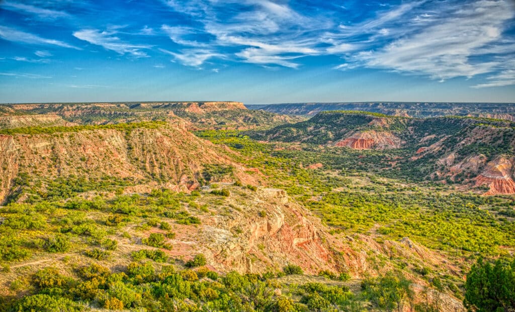
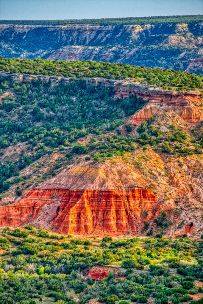
Palo Duro Canyon State Park is a short distance southeast of Amarillo, Texas. Whenever we travel through Amarillo, we always make a stop at Palo Duro to enjoy the ever-changing scenery.
Photographs from Palo Duro Canyon
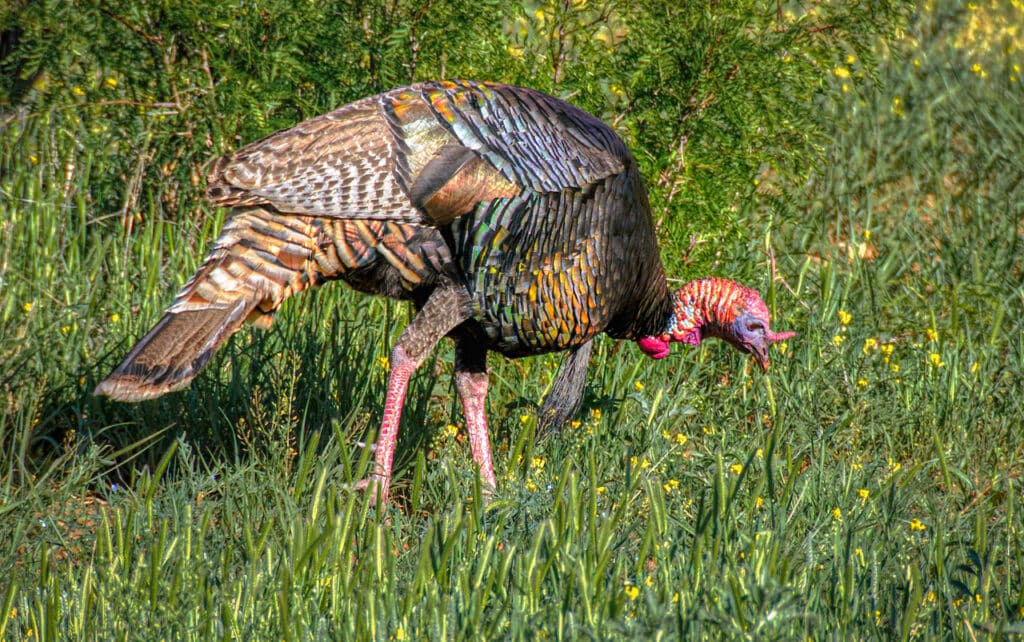
Along the paved winding road and numerous trails, Palo Duro is full of photographic opportunities.
More about Palo Duro
Numerous sources call Palo Duro the second-largest canyon in the United States. It is about 120 miles long, over 800 feet deep, and averages 6 miles in width. It is the crown jewel in the Texas State Park system. Aside from wind and rain erosion, the great canyon was formed by the downcutting of the Prairie Dog Town Fork of the Red River.
Humans have lived in the Canyon since the Pleistocene. There is evidence of habitation dating from 10,000 to 5000 BCE. After that, various tribes Plains Indians camped and hunted throughout the canyon.
Here is an interesting publication: The Geologic Story of Palo Duro. Published in 1969, it is primarily about the geology of the areas. But it also talks about the canyon’s early settlement.
More resources for Palo Duro
Partners in Palo Duro Canyon Foundation publish a very informative Website that provides a wealth of information and downloadable maps: https://palodurocanyon.com.
The State of Texas Website for Palo Duro is good for learning about various bans and alerts: https://tpwd.texas.gov/state-parks/palo-duro-canyon.
Purchasing our photos
All of our scenic photographs are available as fine art prints. Use the contact form to the right to get more information. Or, go to our Fine Art Print page to learn about various pricing options.


