Located southwest of Moab, Canyonlands National Park is vast. It is the largest national park in Utah and encompasses over 525 square miles of diverse topography. Because of this diversity, the park is divided into four main districts: Islands in the Sky (the largest), the Needles, the Maze, and the confluence of the Green and Colorado Rivers. Many might also include Horseshoe Canyon, with its pictographs and petroglyphs, as another distinct area.
Canyonlands seems wilder than Arches, Bryce, or even Capitol Reef. Some scenic locations require getting off the paved road and traveling along four-wheel drive roads. So, before you go, be sure to download individual maps and guides for the regions you want to explore. Here is a link to Canyonland publications.
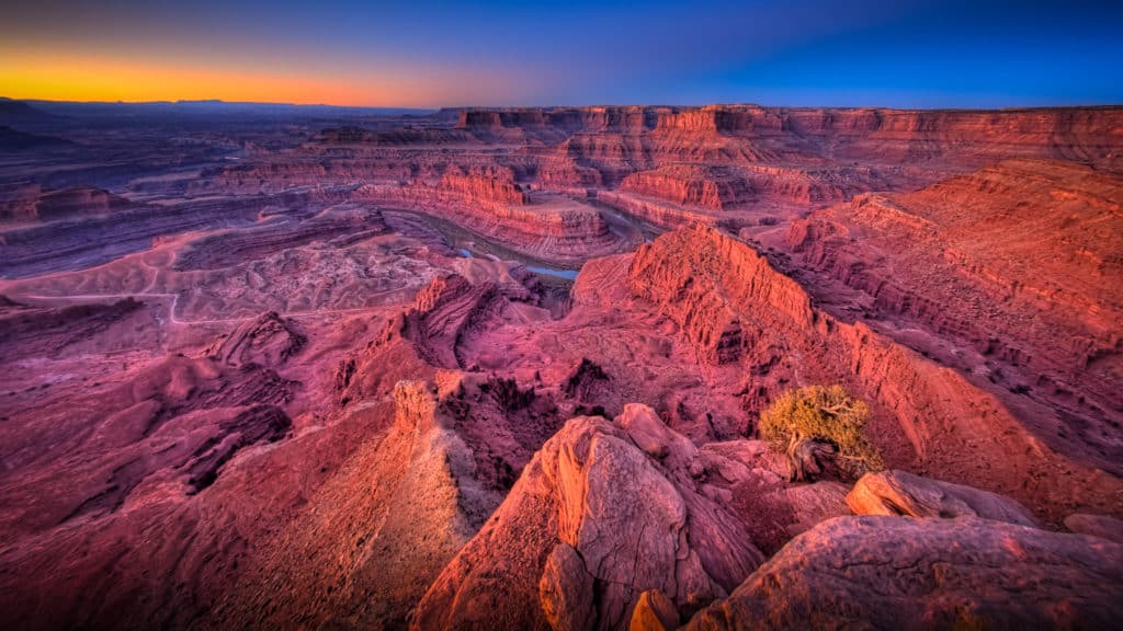
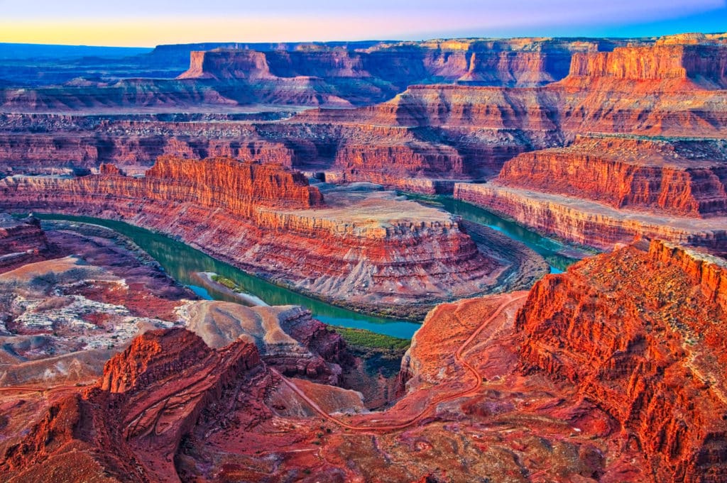
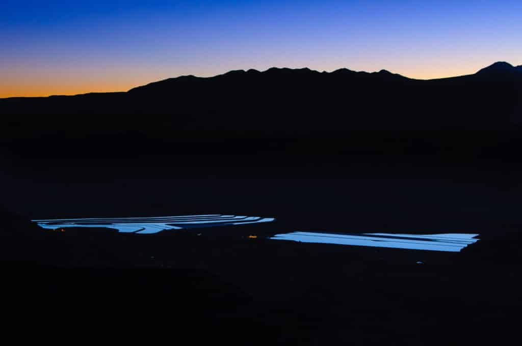
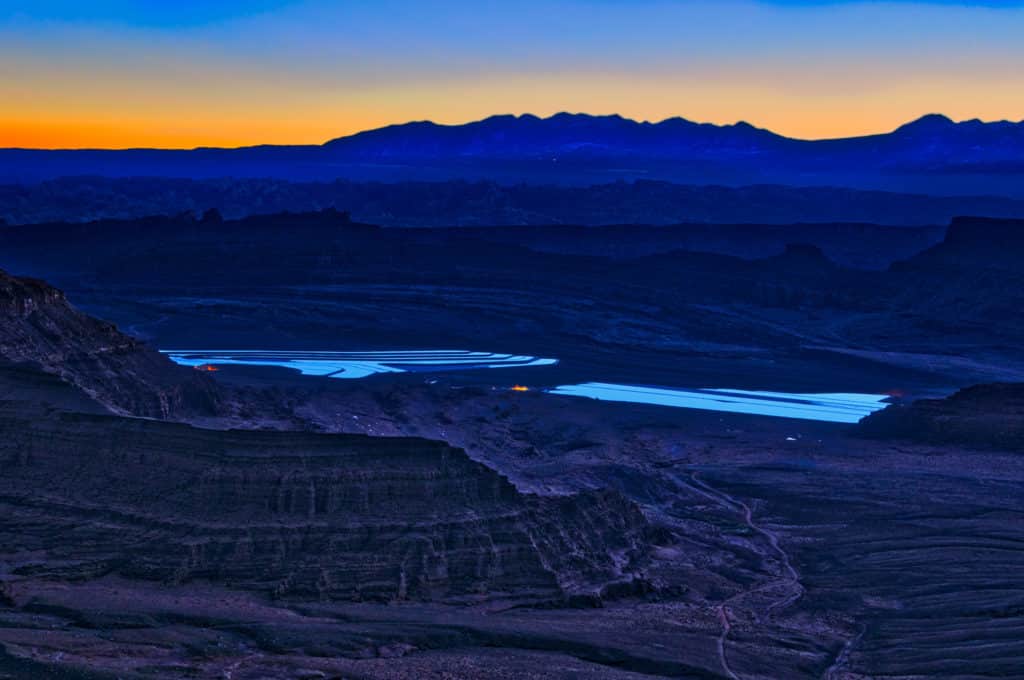
Photographs of Canyonlands National Park
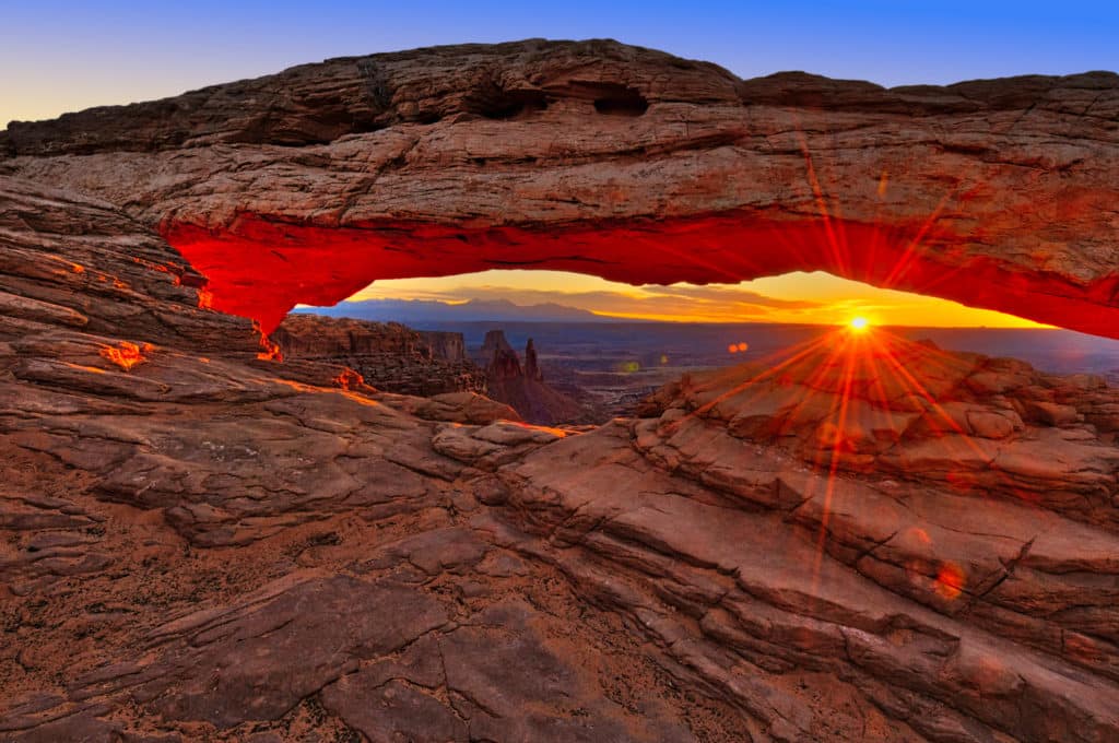
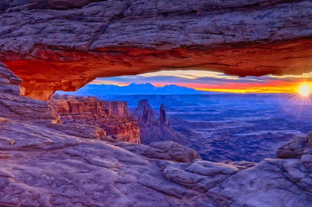
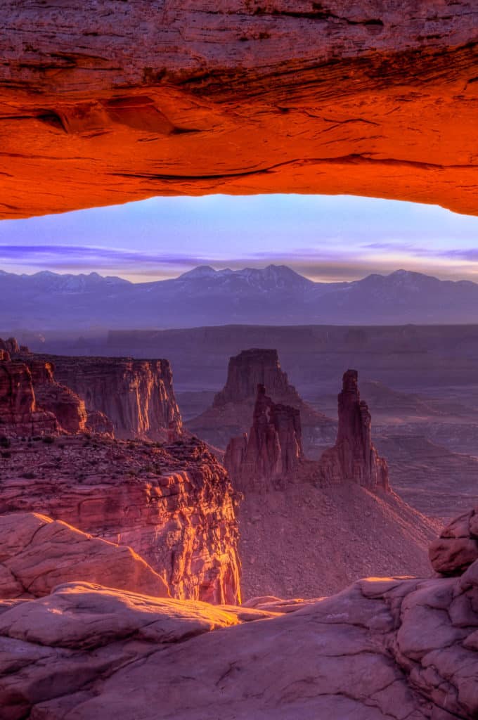
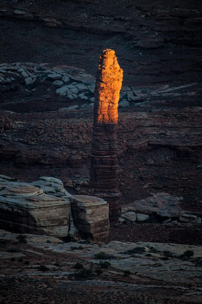
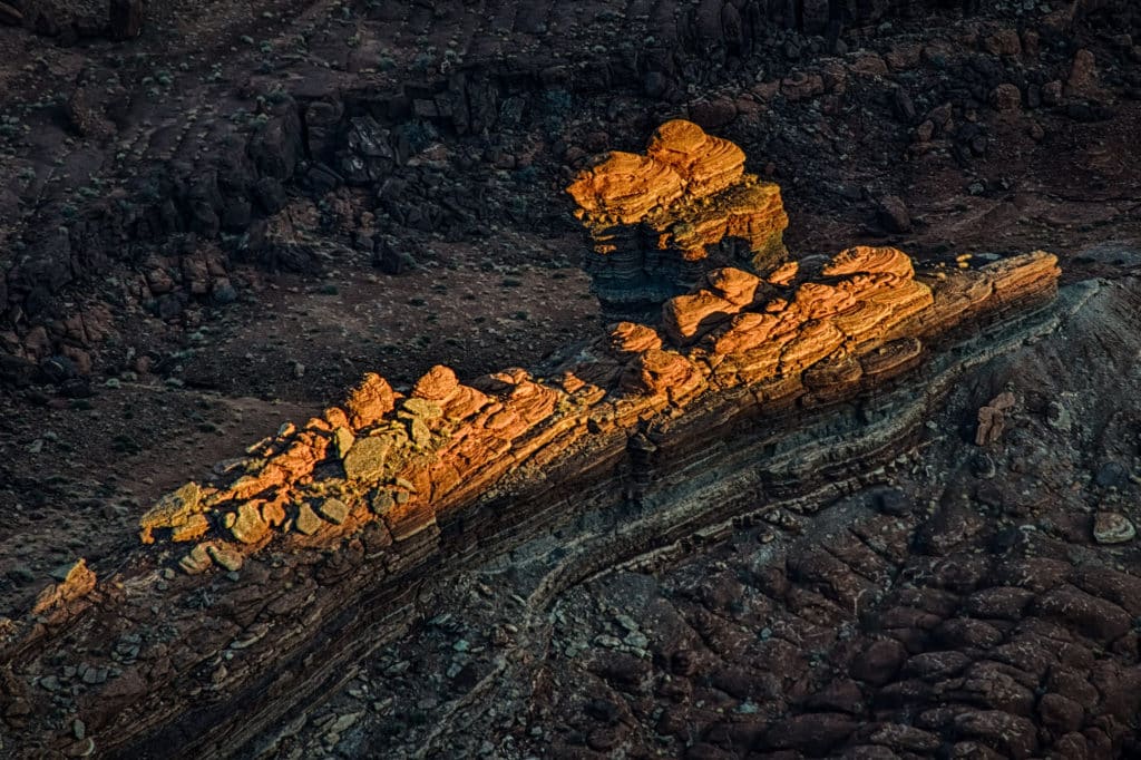
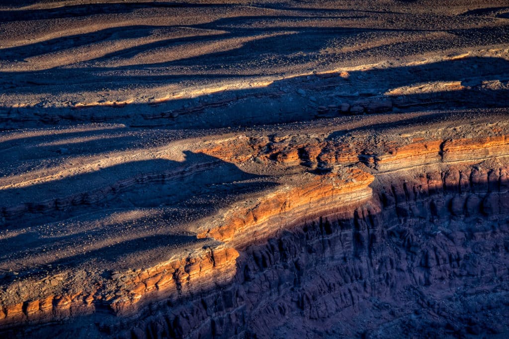
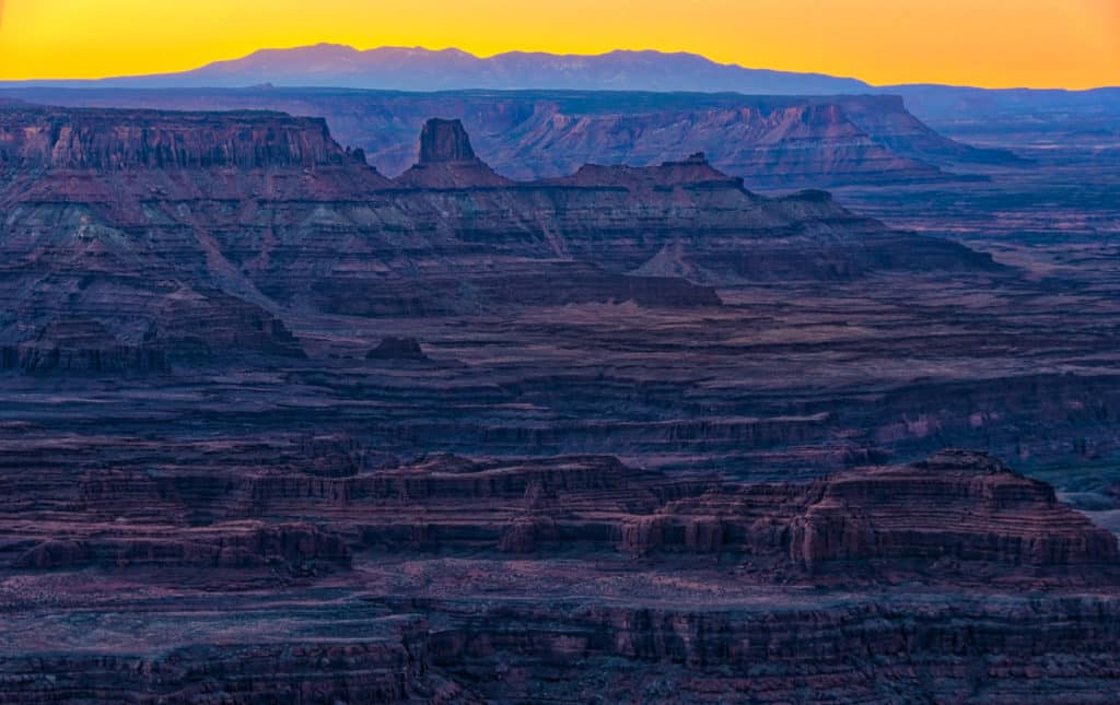
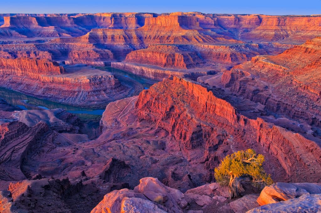
These photographs show scenes in the Islands in the Sky District of Canyonlands. Some were taken from Utah’s Deadhorse Point State Park and others were taken in Islands in the Sky proper.
Locations in Islands in the Sky
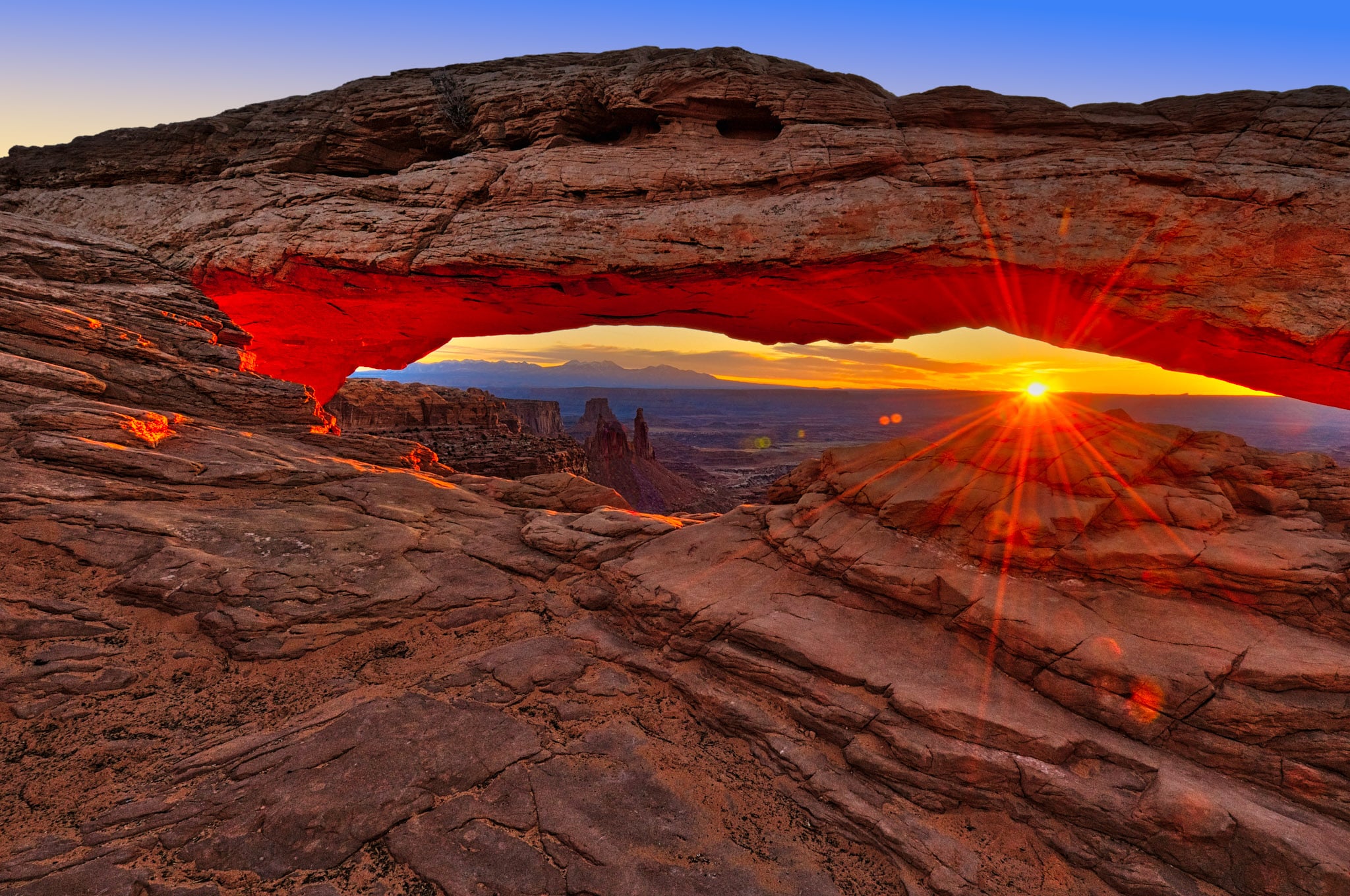
In the Islands in the Sky, you need to experience dawn at Mesa Arch. It is a favorite of photographers; so, if you are serious about photographing it, be sure to stake your claim well before sunrise. The last time I was there, there were 15 photographers all lined up for their version of the iconic shot.
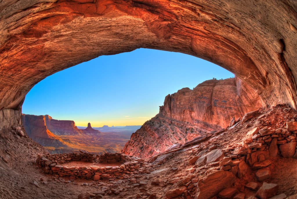
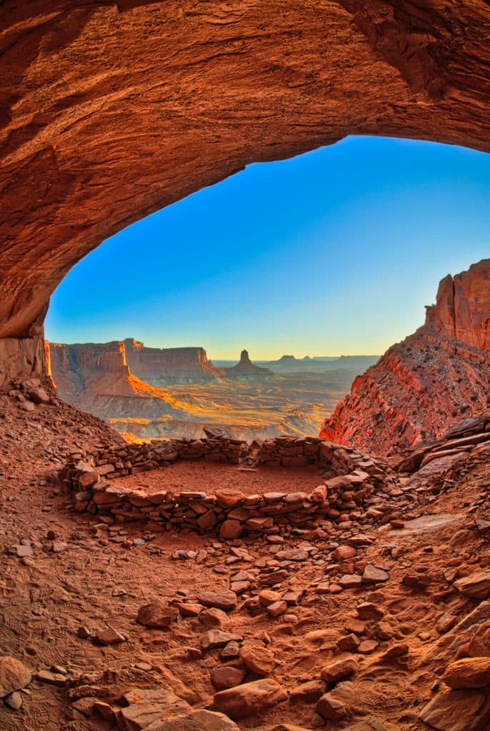
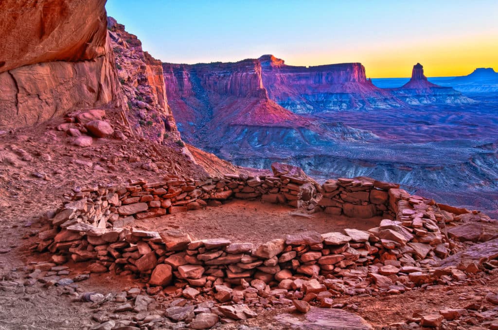
Another beautiful location is False Kiva. This ancient Anasazi site requires a 3-mile hike over broken terrane. And, it is best photographed at sunset. Plot your hike on a GPS to ensure you can avoid getting on the wrong side of a ravine as you make your way out in the dark.
Dead Horse Point State Park, although not in Canyonlands, has several overlooks that allow you to see the Colorado River as it winds through the national park.
The Shafer Trail is a dirt road (requires a high-clearance vehicle in some places) that skirts the Islands in the Sky and eventually takes you to Moab. There are a number of good photographic opprtunities along the way.
Finally, if you have a capable vehicle (high-clearance, four-wheel-drive vehicle with low range), then you should take the 100-mile White Rim Trail. It takes you around and below the Islands in the Sky District.
Purchasing our photographs
If you would like to license a photo or order a print, please contact us using the form to the right. We will do our best to meet your needs.

