
Grand Canyon National Park, sometimes called the South Rim, encompasses over 1900 square miles. Because it is easily accessible from Interstate 40, the South Rim can be very crowded in the summer. Over 5 million people visit Grand Canyon National Park. Of that number, about 90% visit the South Rim and 10% visit the North Rim. (Here are our photos from out North Rim portfolio.)
Photographs of the Grand Canyon National Park
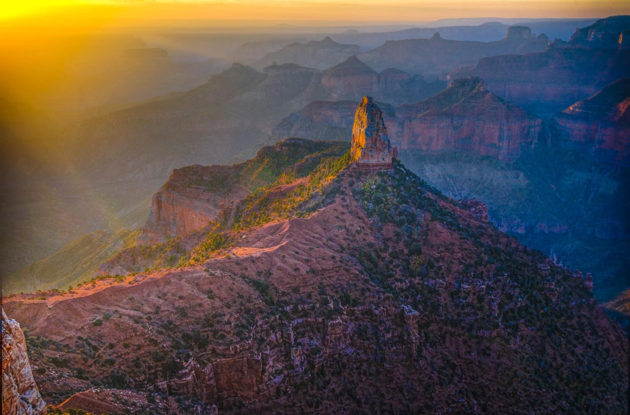
Here is our South Rim portfolio taken in early February.


When to visit the South Rim
Because of its popularity, the South Rim can be difficult to photograph due to the crowds of people. However, since the park is open all-year-around, it is more pleasant to photograph the park during the off-season. There are fewer people, more comfortable temperatures, and the sky is clearer and less hazy. I found late January and early February the best for me.
Places to see at the South Rim
The main road through the park is paved and provides easy access to all the main overlooks, such as Desert View, Navajo Point, Yaki Point, Mather Point, Yavapai Point, Maricopa Point, Hopi Point, Pima Point, and Hermit’s Rest. Here is a link to the South Rim Pocket Map and Services Guide.
To purchase our photos
To license a photo or purchase a print, contact us using the form to the right and we will do our best to accommodate your needs.
One Reply to “Grand Canyon National Park”