There are nearly 12,000 acres of picturesque landscape in the Makoshika badlands. Makoshika State Park, near Glendive, Montana, is a great place to start a tour of high plains badlands.
Badland photographs
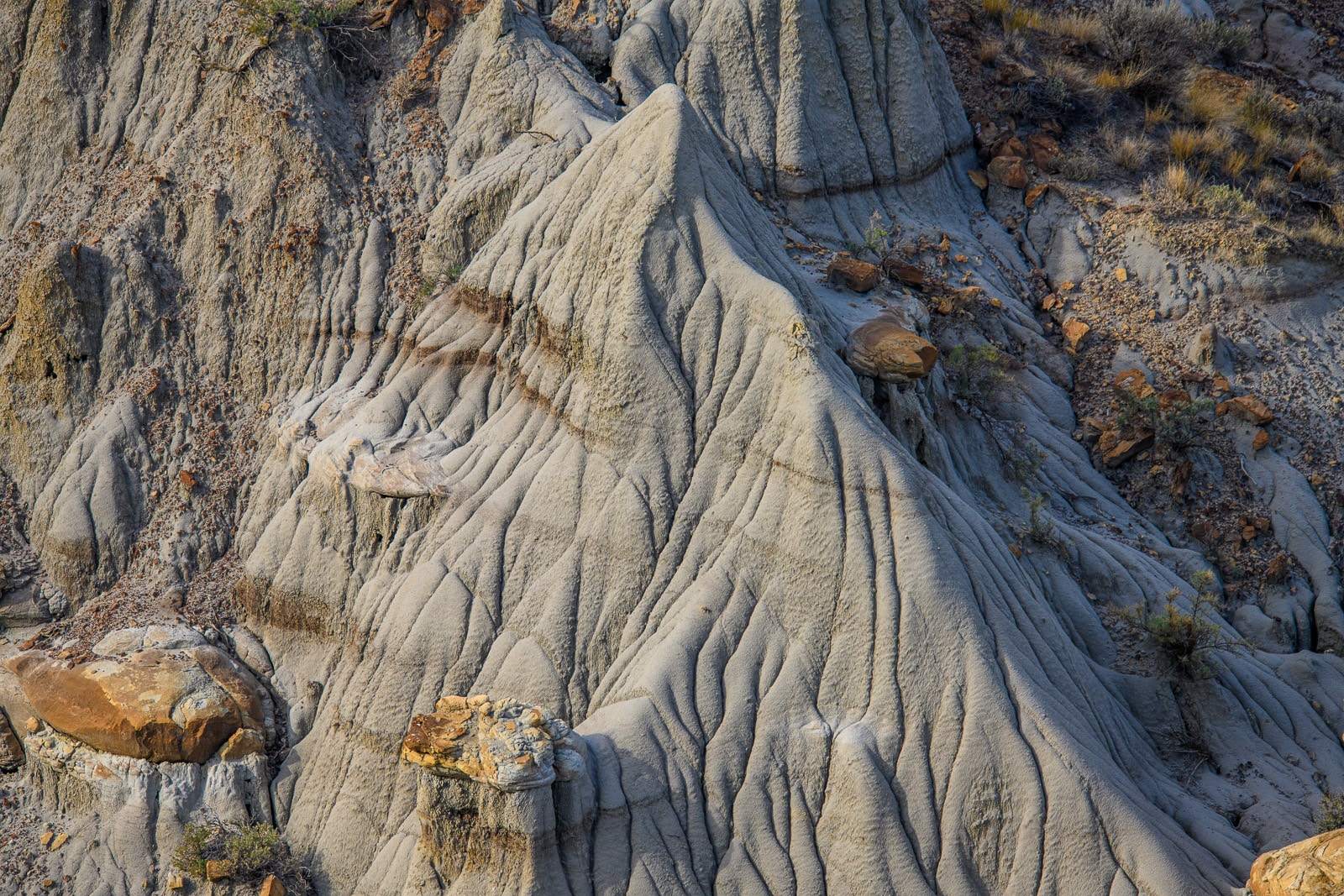
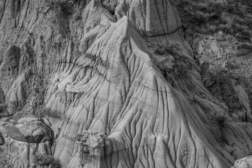
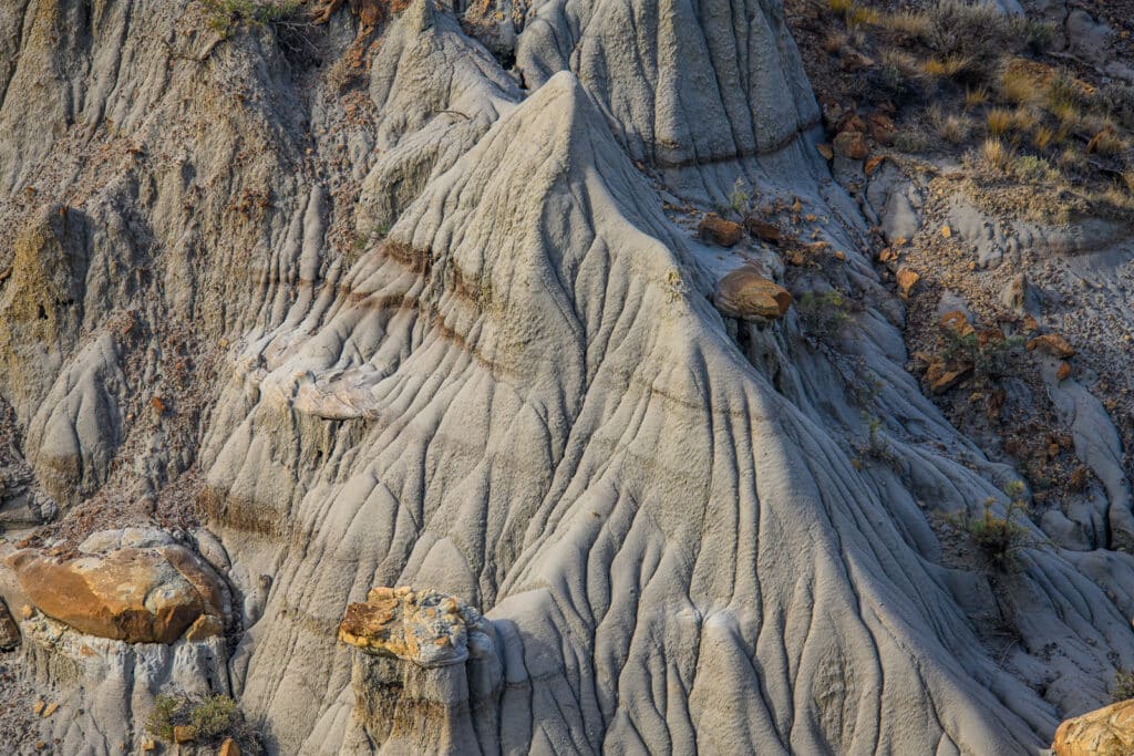
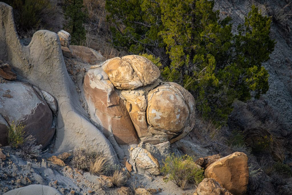
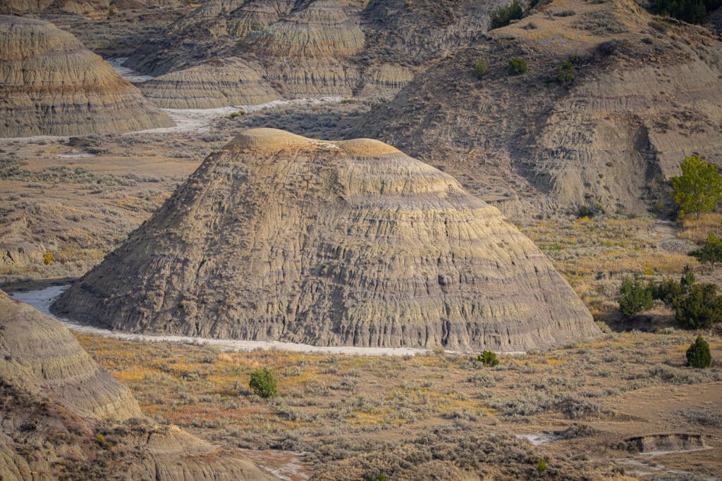
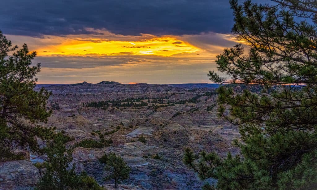
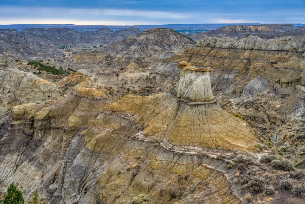
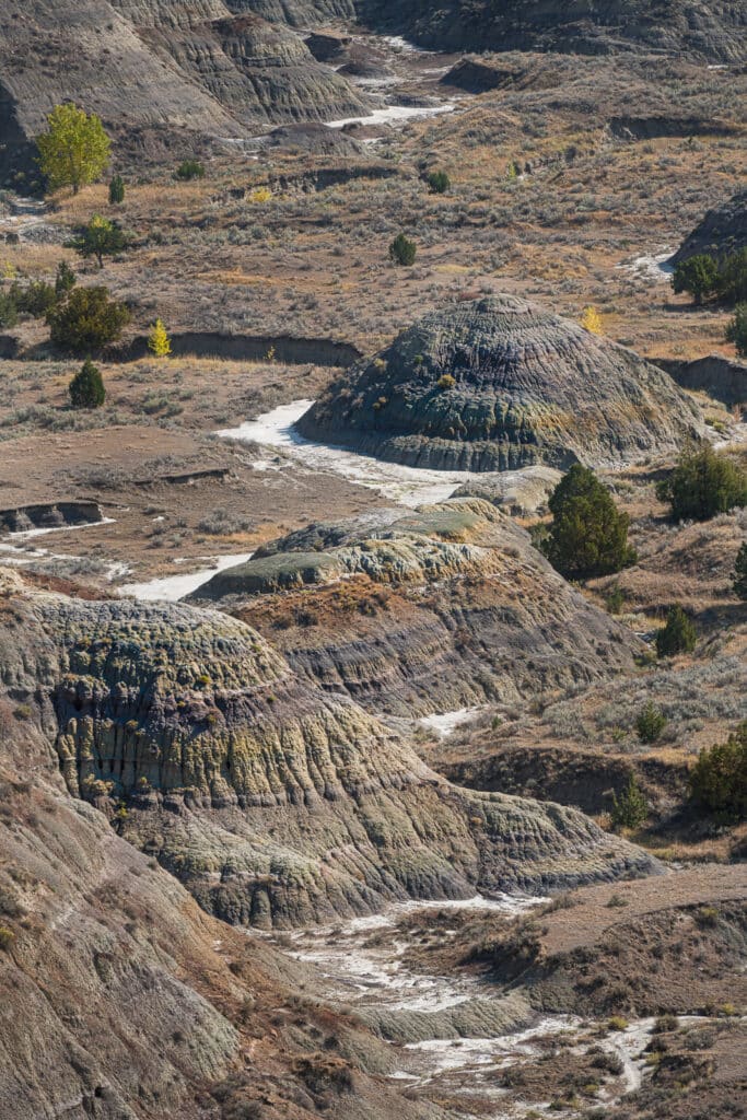
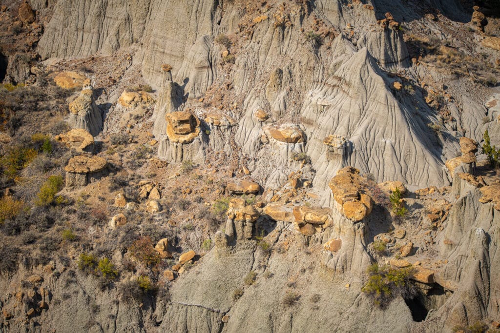
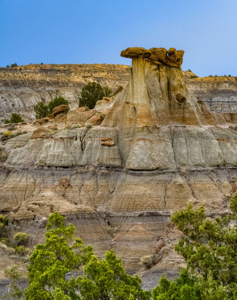
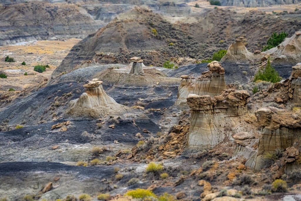
Here is a small gallery of photographs showing some of the Makoshika badland topography:
Camping in Makoshika badlands
Camping in the Makoshika badlands was a big attraction for us. In addition to some electrified spots on the valley floor, visitors can camp up on the plateau. These plateau campsites are somewhat rustic. However, they provide stunning views out across the vast Makoshika badlands.
Badland fossils
Within the park is a dinosaur interpretive trail. Along this trail you can see the K-T boundary. Below this boundary, paleontologists have unearthed fossil remains of large therapods like T-Rex and an almost complete skeleton of a Thescelosaur–a small ornithopod.
Fantasy rock formations
Once, this area was part of a vast sea and flood plain. Then, about 65 million years ago, tectonic forces uplifted the region. Rivers, such as the Yellowstone and its tributaries, started to flow across this uplifted plain. As a result, soil and rock were eroded away creating all kinds of fantasy formations. Looking out from the many overlooks, visitors can see balancing caprocks, rock spires, hoodoos, hogbacks, fluted hillsides, mesas, and buttes.
We have photographed other locations with similar types of rock formations. These locations include:
To purchase our photos
All of our scenic photographs are available as fine art prints. Use the contact form to the right to get more information. Or, go to our Fine Art Print page to learn about various pricing options.

