
Autumn in the San Juan Mountains of Colorado is a breath-taking experience. And, this experience is not just due of the gorgeous shades of yellow, orange, russet, and red; but, it is also due to the dizzying heights and winding roads you must travel. Here is a guide to help you find the best fall color photography locations in the San Juan Mountains of Colorado, near Ridgway.
Guide to the best fall color locations for photographers
Your guide to finding the best fall color locations is ready for download here. It is in PDF format and will print out nicely so that you can take it along with you on your leaf-color tours. For each location, you will find specific directions and notes, plus CAUTIONS you should keep in mind on your journeys, such as road and trail conditions, where to park, and navigation landmarks.
Okay, with all that out of the way, here is a preview of the locations covered in the guide.
Around Ouray
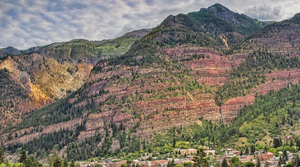
It is not for naught that Ouray bills itself as Switzerland of America. Rugged peaks surround a gem of a town. And, autumn brings pilgrims seeking the best leaf color in colorful Colorado. Around Ouray are some scenic locations great with and without fall color. Plan on visiting Box Canyon Falls, Baby Bathtubs Trail, Amphitheater Campground, and Cascade Falls.
Highway 550 – The Million Dollar Highway
Highway 550 from Ouray to Silverton routinely makes the worldwide top-ten list of scenic roads—and the list of the most dangerous and scary in Colorado. It is also the easiest access to the best fall color locations in the state.
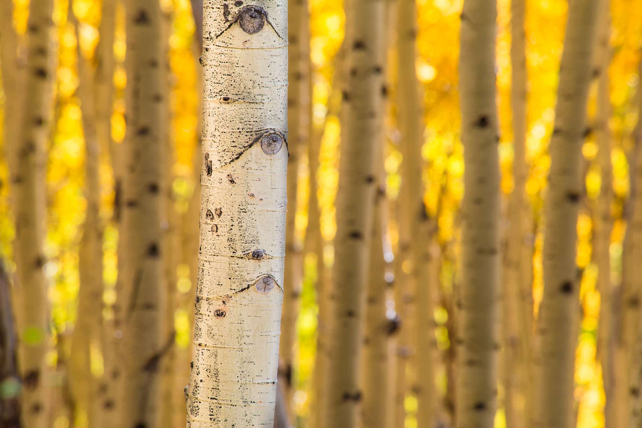
To the photographer, the highway offers layer-cake cliffs, U-shaped glacial valleys, cirques, red mountain slopes, gaudy boulders, ancient calderas, sweeping curves, panoramic vistas, avalanche chutes and shelters, ghost towns and mining ruins, aspen groves, mountain lakes, and some of the cleanest air in the United States.

Some of the stops along the way to Silverton include: Lookout Point, Bear Creek Falls, the Double S-curve, Crystal Lake, Ironton ghost town, Idarado Mine complex, Red Mountain Pass, FS 825, and Chattanooga ghost town.
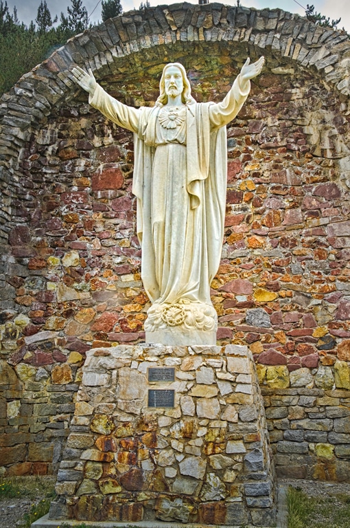
Once in Silverton, visit Christ of the Mines Shrine and Hillside Cemetery.
Past Silverton, but still on 550, be sure to pull off the road and take a look at Little Molas Lake, Molas Overlook near Molas Pass, and Andrews Lake.
Cutler Creek Road – CR 14
County Road 14 provides a scenic, if bumpy, ride through autumn color. Along the route enjoy the mountain views, a racing creek, and breathtaking aspens.
Highway 62
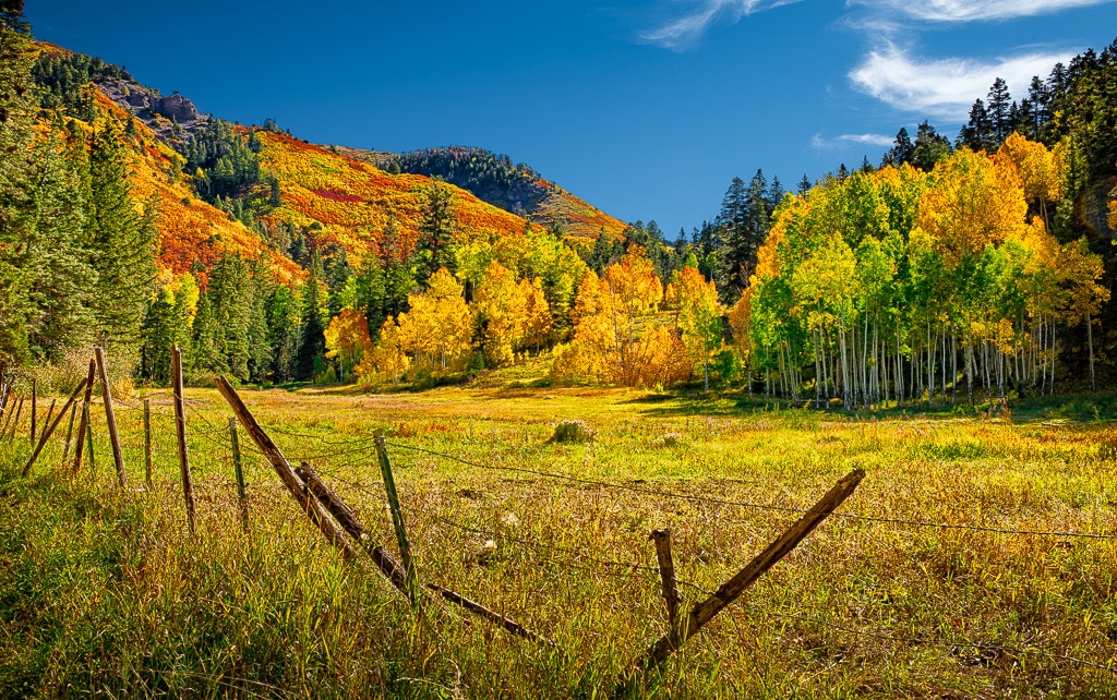
Highway 62 runs west from Ridgway. Along the way, the snowcapped Sneffels Range backstops authentic Western ranches. Off this highway you will find four of the most productive fall-color routes anywhere, plus a spectacular viewpoint. They are: CR 5 (Girl Scout Camp Road), CR 7 (East Dallas Creek Road), CR 9 (West Dallas Creek Road), Dallas Divide (pull off), and the Last Dollar Road.
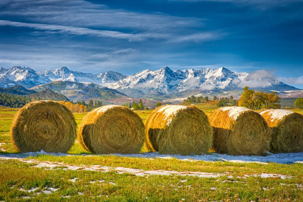
Ridgway State Park
Ridgway State Park is a triple blessing for photographers: a convenient base of operations, a scenic and wildlife-rich area, and a viewpoint for distant mountain ridges. Wildlife includes 140 species of resident and migratory birds, deer, elk, big horn sheep, moose, marmots, black bears, bobcats, and mountain lions. At sunset, views from Elk Ridge Campground and the Visitor Center Overlook are sublime.
Owl Creek Pass Road
The Owl Creek Pass road has what the fall photographer needs: every leaf color possible; picturesque ranches and stunning vistas; jagged, serrated, and fluted ridges; volcanic towers, spires, and chimneys; the setting for a classic John Wayne movie; wildlife; and the occasional cattle drive.
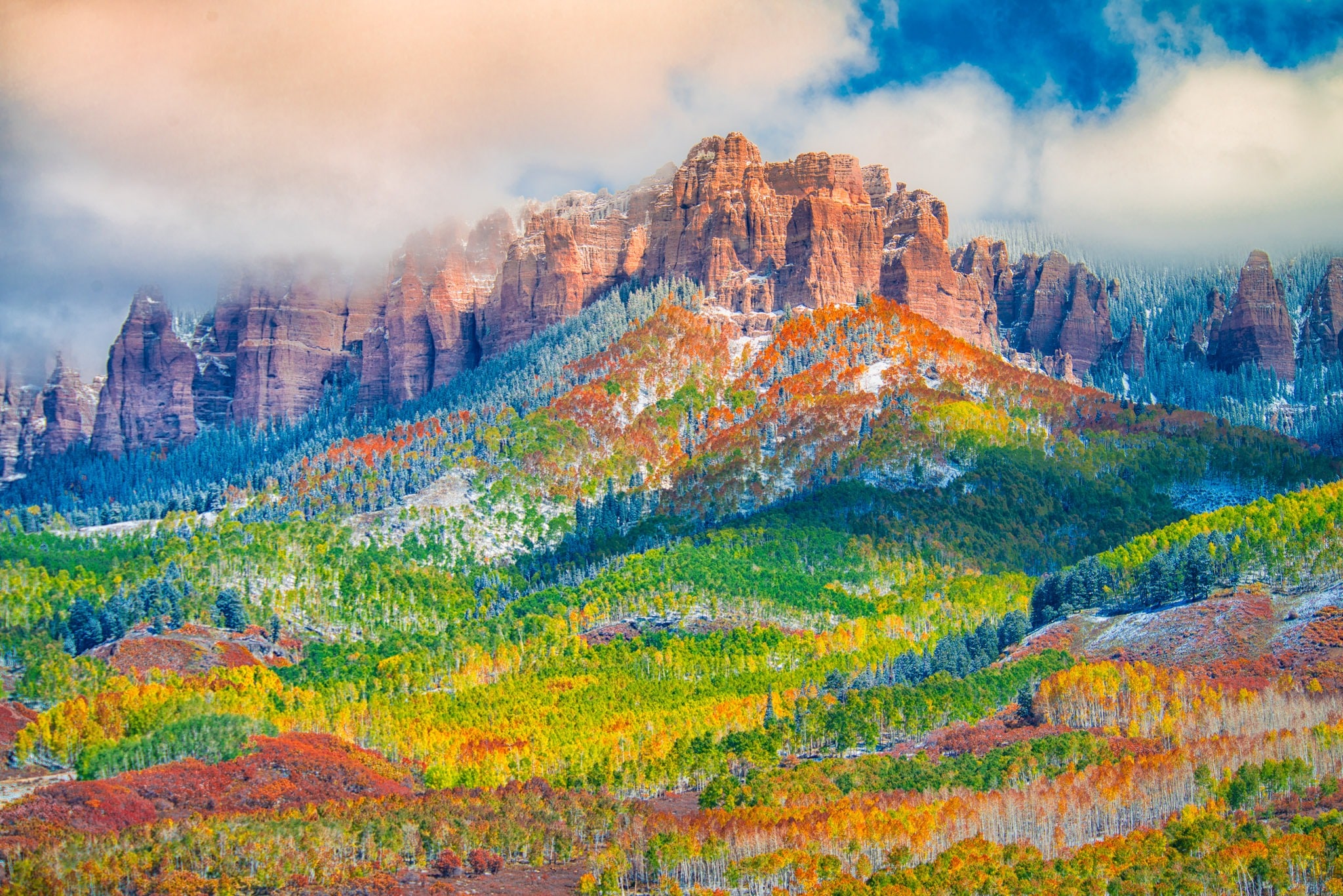
Specific areas and points-of-interest include the ranch zone, oak forest, Vista Point, views of Mt. Sneffels and the Cimarron Ridge, aspen groves, Katie’s Meadow (from True Grit), Owl Creek Pass, three forks of the Cimarron River, Silver Jack Reservoir, and Beaver Lake.
A Reminder
One more time … download the PDF Guide to the Best Fall Color Locations in the San Juan Mountains before you head out to these locations. In it you will find directions, GPS coordinates, photography notes, and cautions. Notice the revision date at the bottom of the Guide. As I find errors and omissions and make additions, I will upload a new version of the document.
Additional Resources
In addition to the PDF Guide, here are links to two Google maps: One for the Ouray area and another for the Ridgway area. All the points listed in the Guide are on these maps, plus many more. It is my planning map for when I go to Ouray. Enjoy!
Ridgway area:
https://www.google.com/maps/d/edit?mid=zxytoCjVKsz0.kJcTn2u-C5-0&usp=sharing
Ouray and Silverton area: https://www.google.com/maps/d/edit?mid=zxytoCjVKsz0.kyP7NFKPBlQ4&usp=sharing